Missapon · 1 year ago
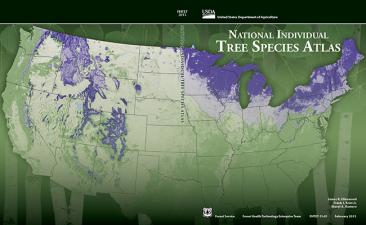
Individual Tree Species Parameter Maps
The Individual Tree Species Parameter Maps (ITSP) map basal area and stand density index for each individual tree species. The parameter products are based on 30-meter Landsat satellite data, climate, terrain, and soil predictor layers and ground samples from the USFS Forest Inventory and Analysis plot data.
